Location Maps
 Click to enlarge.
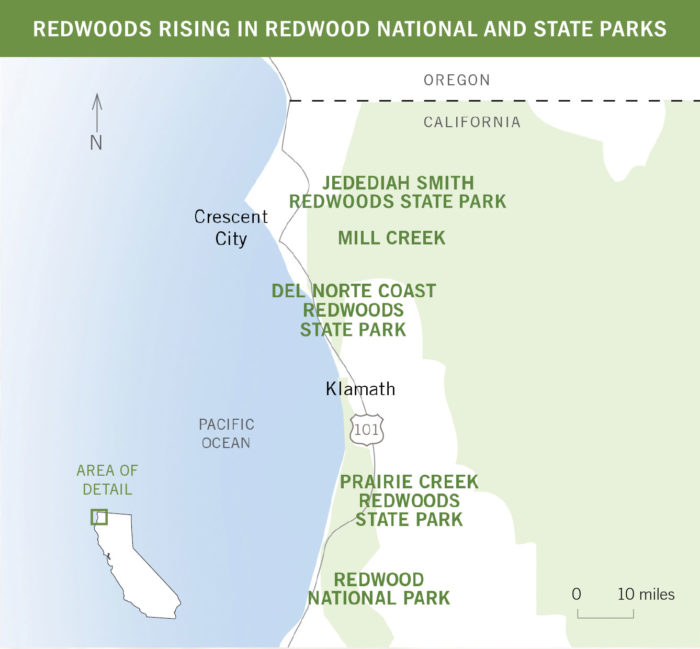
Redwood National and State Parks (external link) represent a unique partnership of Redwood National Park and Del Norte Coast Redwoods, Jedediah Smith Redwoods and Prairie Creek Redwoods State Parks.
 Click to enlarge.
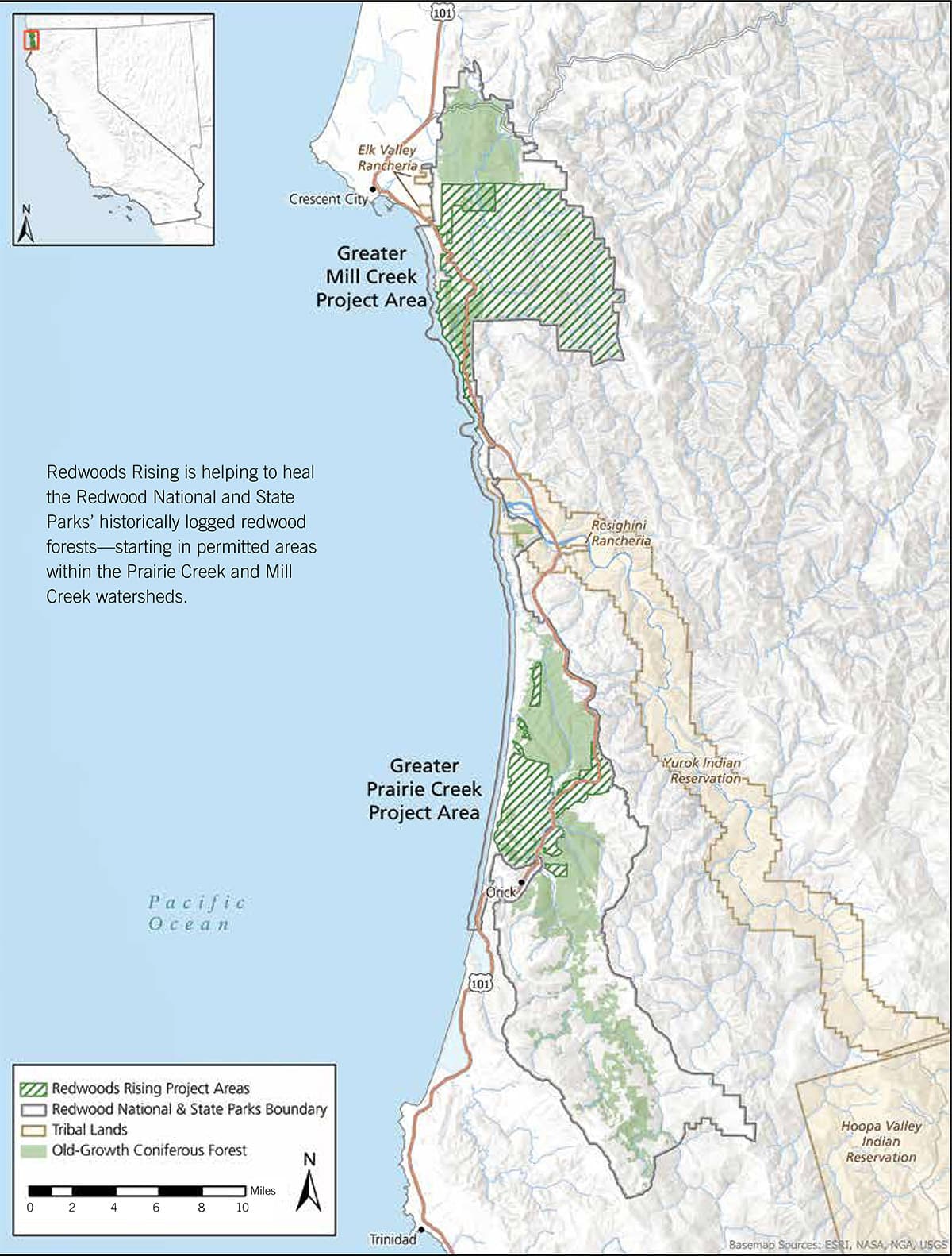
Redwoods Rising project areas are close to some of our beloved redwoods experiences in Redwood National and State Parks.
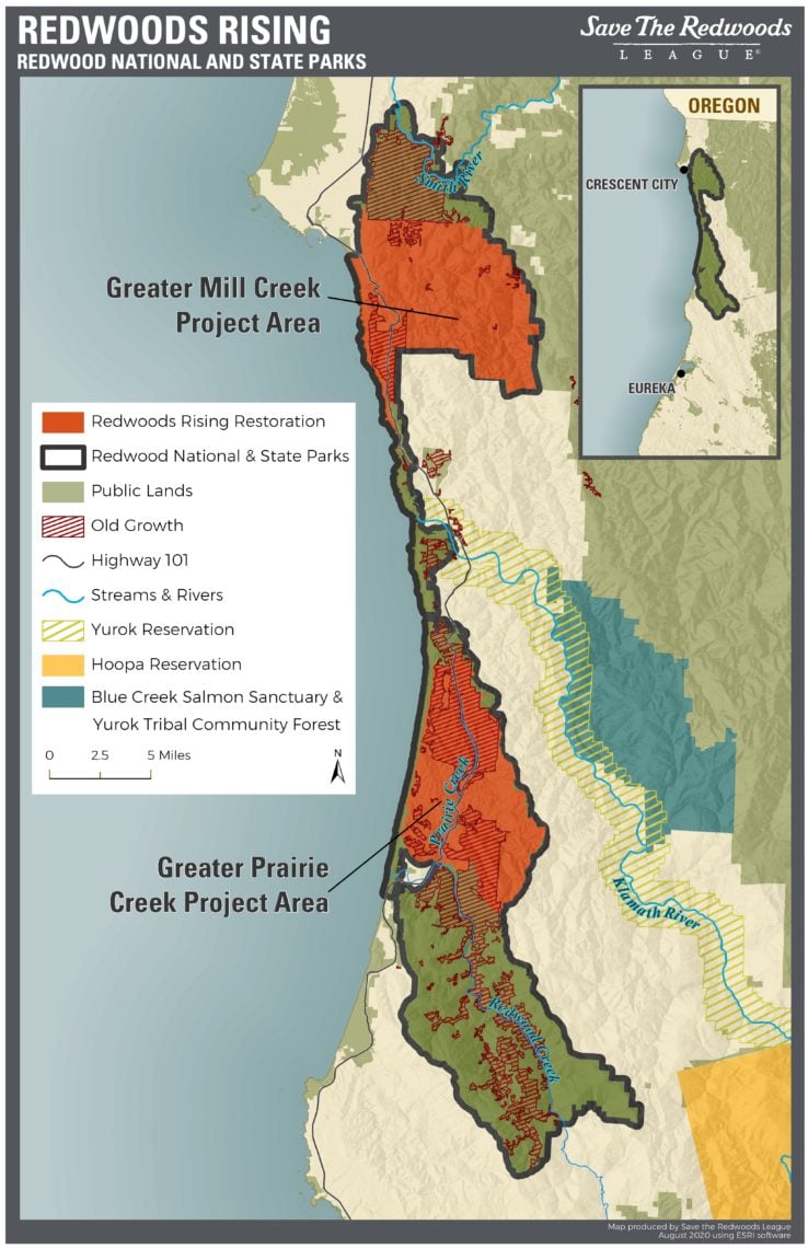
Redwoods Rising is helping to heal the Redwood National and State Parks’ historically logged redwood forests—starting in the Prairie Creek and Mill Creek watersheds. These two large project areas are outlined in dotted lines on the map.
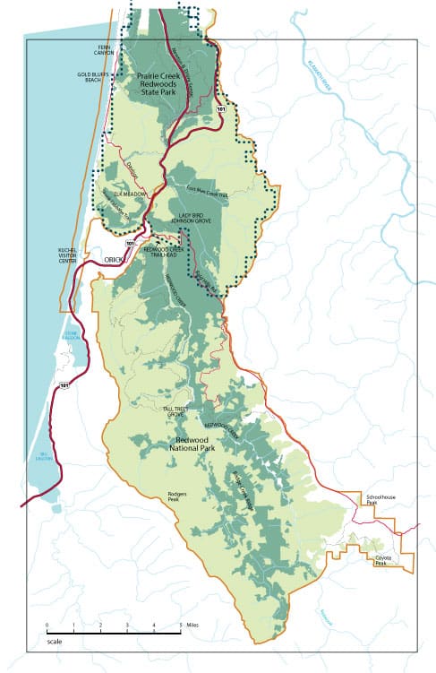
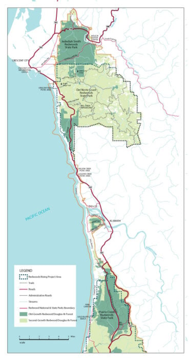
The light-green areas on the maps below represent formerly logged lands (about two-thirds of the parks’ forests) that are now blanketed with thin, densely growing, young redwood and Douglas-fir trees.